Northern Territory Drones
Supporting environmental, commercial, and on-Country projects across the Top End and Arnhem Land
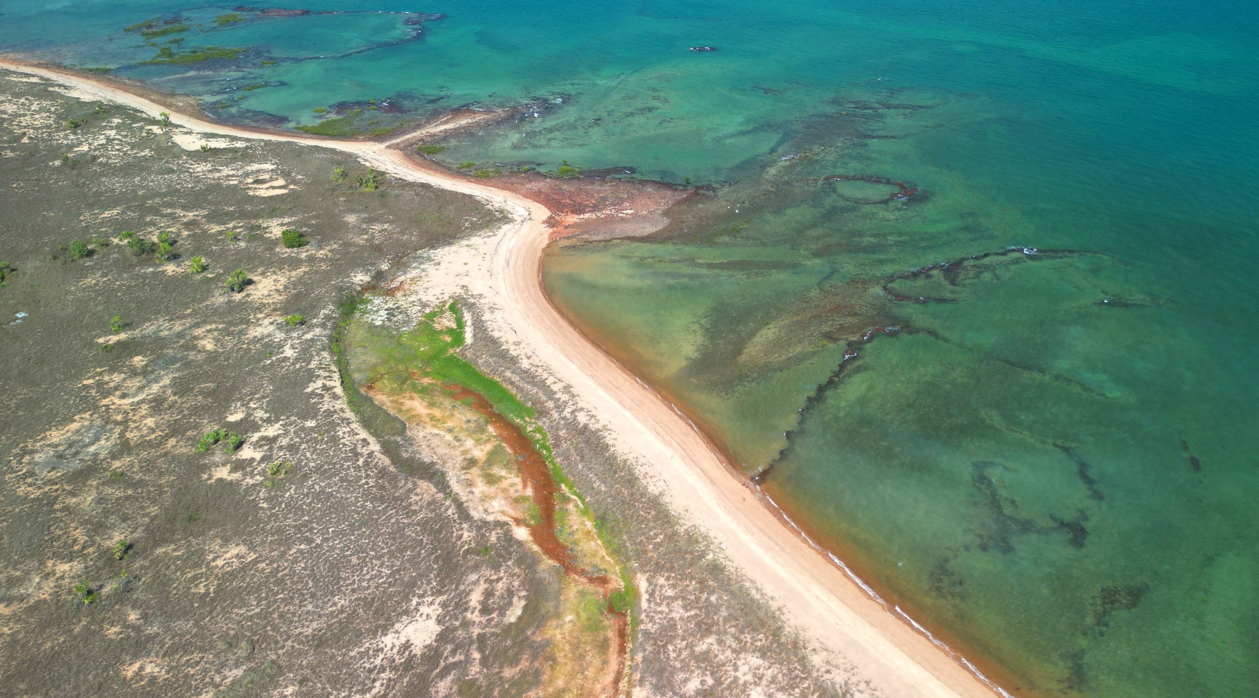
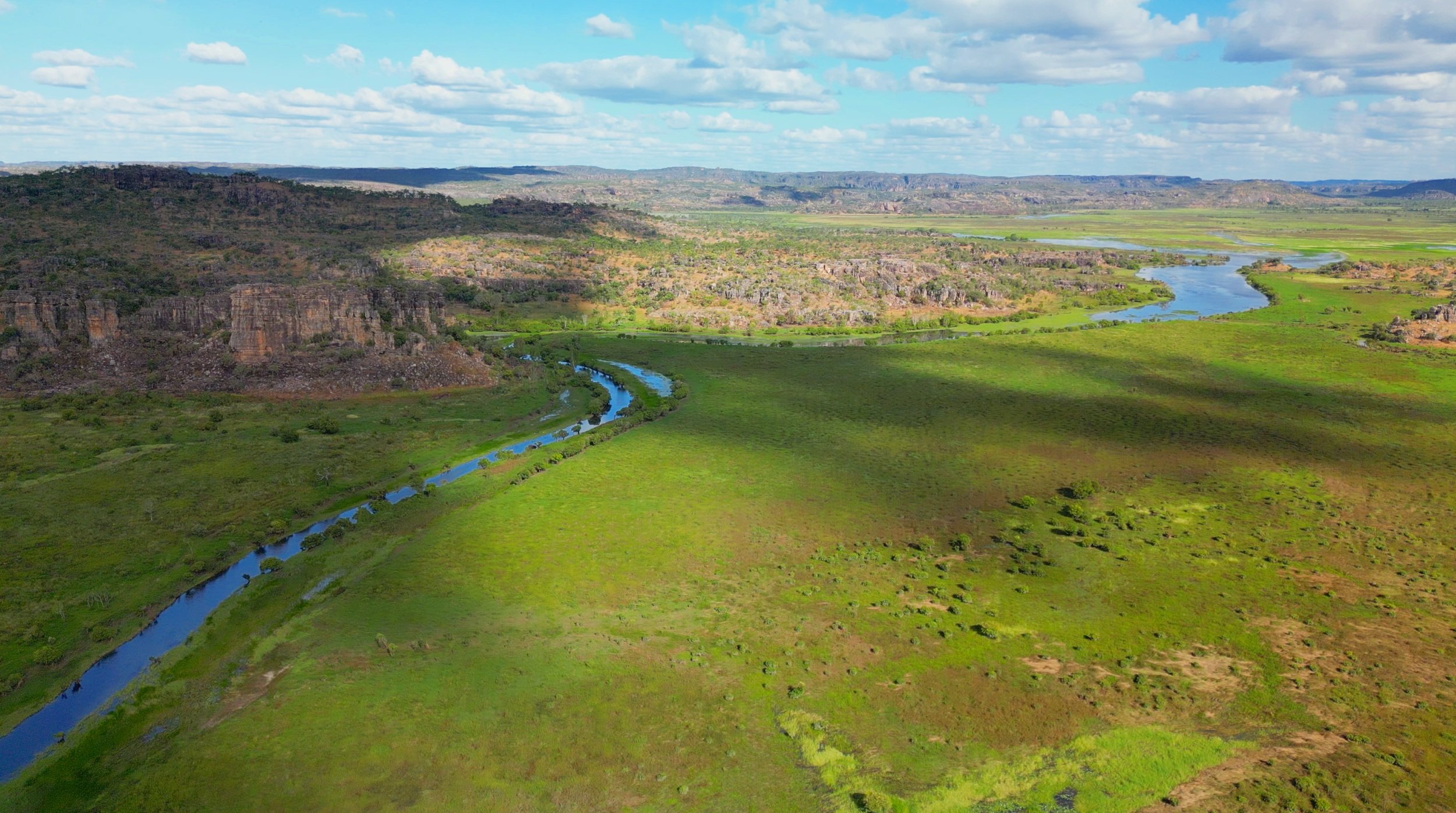
Extensive experience with indigenous communities, culture and procedures to deliver outcomes on country. Fire mapping, Ecological assessment, Illegal fishing and Training for range groups.
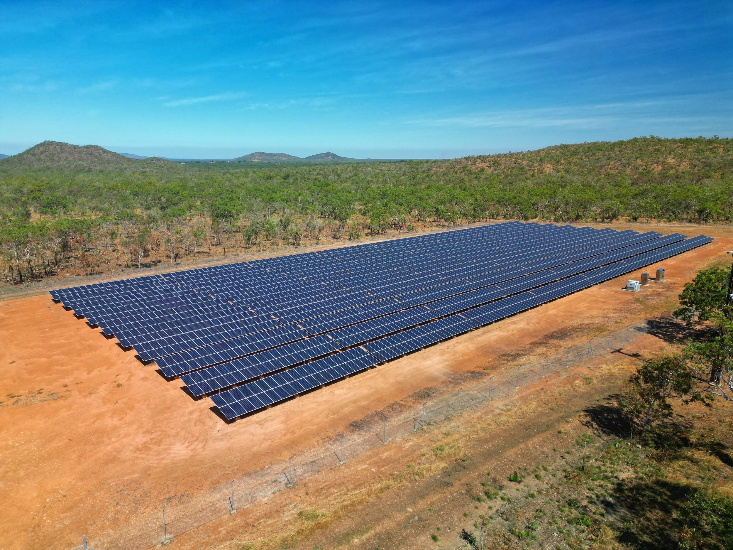
We use thermal drones to assess hot spots or thermal anomalies in panels. This can be up to 5x faster and far more cost effective. Applications for large solar arrays or hard to access residential/commercial panels.
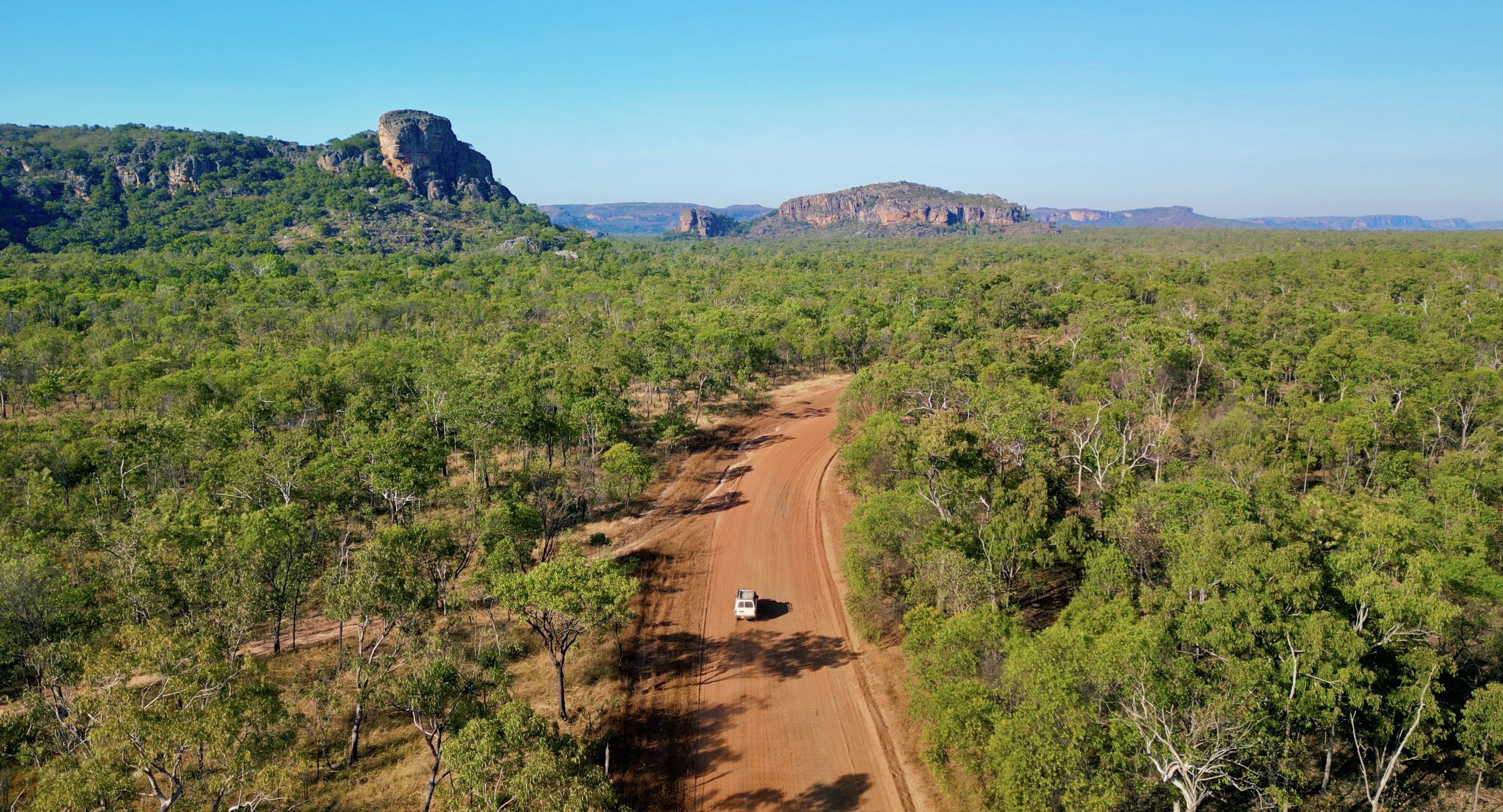
Capturing scenic and wildlife content for a wide range of clients in Tourism, Advertising, Promotion and Natural Resource Management.
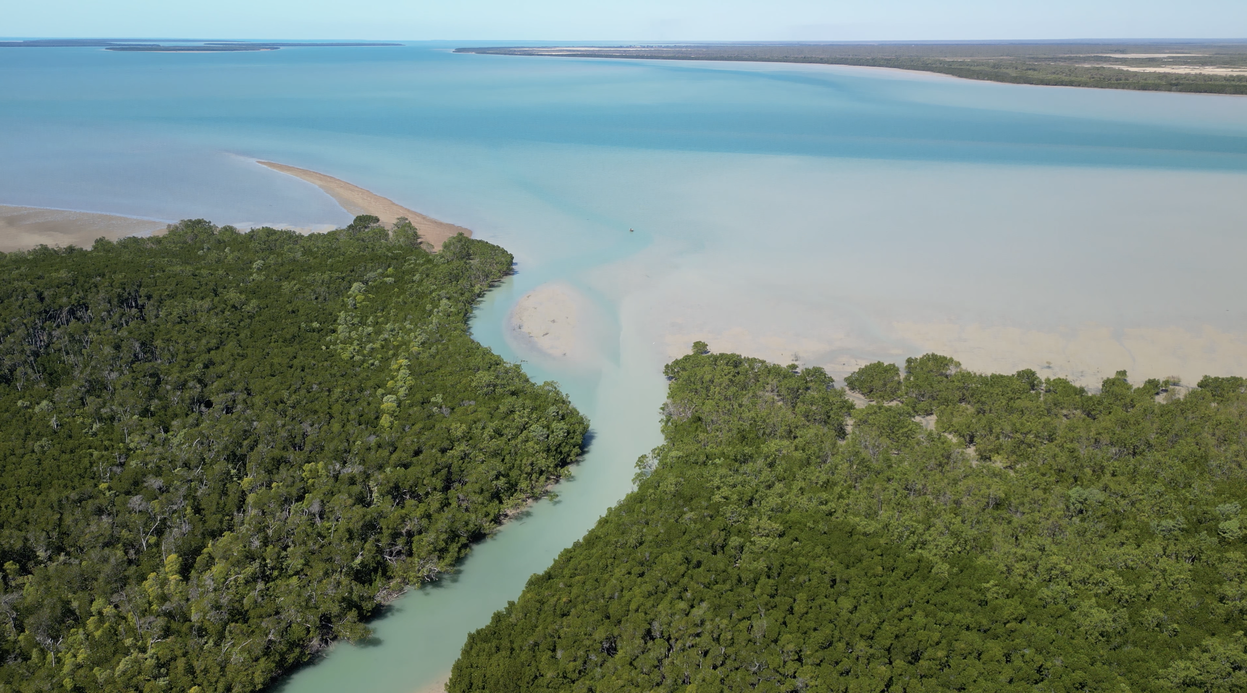
Aerial Photogrammetry to assess fire coverage, thermal tools for feral abatement programs, faunal surveys and idenitification of biosecurity risks