Aerial Photography & Imaging Services
Darwin & Northern Territory
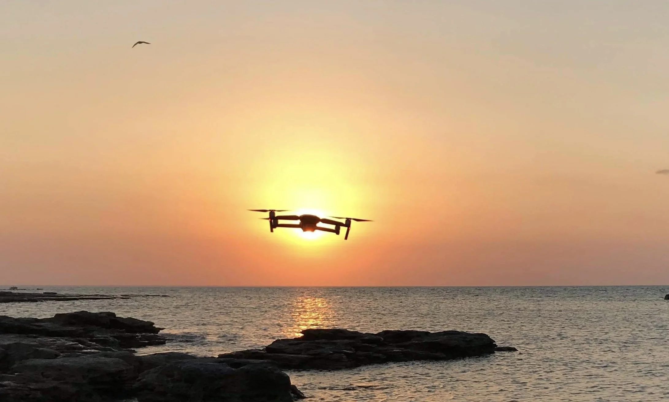
NT Drones provides professional aerial photography and imaging services across Darwin and the Northern Territory, supporting commercial, environmental, and organisational projects.
Our services focus on high-quality aerial imagery for documentation, promotion, and operational use, delivered in accordance with aviation regulations and site-specific requirements.
Who This Service Is For
Aerial photography services may be suitable for:
Tourism and destination marketing organisations
Environmental and land management projects
Government departments and councils
Commercial and industrial organisations
Research and documentation programs
This service is not focused on private events or recreational use.
How Thermal Drone Inspections Are Used
Thermal imaging drones can assist with:
Identifying hot spots or thermal anomalies
Locating potential panel faults or underperforming areas
Supporting maintenance planning and inspection reporting
Inspecting large or elevated solar arrays efficiently
Drone inspections are a non-contact method and are used to support, not replace, electrical testing or system diagnostics.
Imaging Approach
NT Drones focuses on producing clear, usable aerial imagery rather than cinematic or lifestyle content.
Projects may involve:
Still aerial photography
Aerial imaging for reporting or documentation
Location and site overview imagery
Imagery is captured with consideration for lighting, weather conditions, and site access.
Where we operate
Darwin
Palmerston
Katherine
Arnhem Land
Remote Northern Territory and Top End regions
Projects in remote areas are assessed individually.
Common Applications
Aerial photography and imaging may be used for:
Tourism and destination imagery
Environmental and land use documentation
Natural resource management support
Infrastructure and site overviews
Promotional or reporting material for organisations
Each project is scoped to ensure imagery aligns with intended use and regulatory requirements.
Request an Imaging Project
If you require aerial photography or imaging services in Darwin or the Northern Territory, you can contact NT Drones to discuss project requirements and suitability.
Operating in NT Conditions
Aerial imaging in the Northern Territory often involves:
Large or remote locations
Variable weather conditions
Sensitive or restricted airspace
Remote access requirements
Operational planning ensures flights are conducted safely and compliantly.
Safety & Compliance
All aerial photography operations are conducted in line with CASA regulations.
NT Drones holds:
Remote Pilot Licence (RePL)
Remote Operator Certificate (ReOC)
Risk assessments are undertaken prior to each operation.
Frequently Asked Questions
-
Yes. NT Drones provides aerial photography and imaging services for commercial, organisational, and project-based use, including tourism, environmental, infrastructure, and reporting applications.
-
Aerial imagery may be used to support tourism and destination marketing projects where appropriate, subject to access permissions, airspace restrictions, and operational planning.
-
All commercial drone operations are conducted in accordance with CASA regulations. NT Drones operates under the appropriate licensing and safety requirements for commercial aerial work.
-
Yes. NT Drones undertakes projects in remote parts of the Northern Territory, including areas with limited access or infrastructure, subject to safety planning and site permissions.
-
Drone operations in Australia are regulated by CASA. Flying over private property is subject to aviation rules, safety considerations, and privacy obligations. Each operation is assessed to ensure it complies with applicable regulations and site requirements.
-
Aerial photography is typically used in three broad contexts:
Commercial and promotional imagery for organisations and projects
Environmental and land-use documentation
Operational or reporting imagery to support planning and assessment
The type of imagery used depends on the project purpose and regulatory considerations.