Ecological & Environmental Drone Assessments
Darwin & Northern Territory
NT Drones provides ecological and environmental drone assessment services across the Northern Territory, supporting land management, monitoring, and environmental programs in both remote and regional locations.
Using aerial and, where suitable, underwater drone platforms, we assist organisations with spatial and observational data collection to support planning, reporting, and environmental assessment activities.
All operations are conducted in accordance with aviation regulations and site-specific requirements.
Who This Service Is For
This service supports organisations involved in environmental and land management activities, including:
Environmental and ecological consultants
Land management and conservation programs
Government departments and local councils
Research and monitoring initiatives
Organisations operating in remote NT environments
Each project is assessed individually to determine suitability and operational approach.
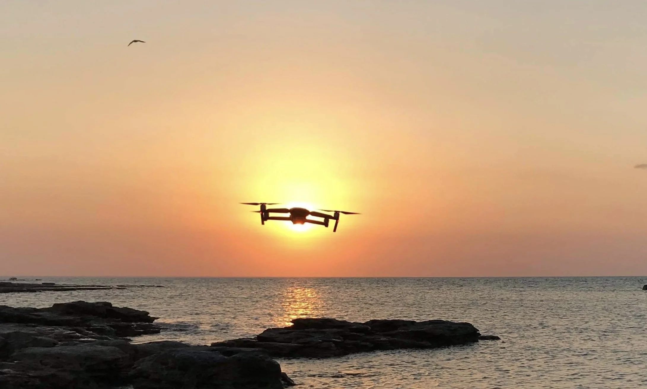
Aerial & Underwater Survey Capability
Depending on site conditions and project requirements, NT Drones may utilise:
Aerial drones for mapping, imaging, and environmental monitoring
Underwater drones for observation in marine or inland water environments
The choice of platform is determined by safety, access, and environmental considerations.
Where we operate
Darwin
Palmerston
Katherine
Arnhem Land
Remote Northern Territory and Top End regions
Services are provided on a project basis, subject to access permissions and operational feasibility..
Common Environmental Use Cases
Ecological and environmental drone services may assist with:
Fire mapping and burn scar assessment
Vegetation and land cover monitoring
Fauna observation and survey support
Feral animal monitoring programs
Identification of potential biosecurity risks
Coastal and inland water observation
Drone data is used to support broader assessment frameworks and does not replace ground-based fieldwork.
Request an imaging project
If you’re planning an environmental or ecological project in the Northern Territory, you can contact NT Drones to discuss scope, location, and feasibility.
Operating in Remote NT Conditions
Environmental assessments in the Northern Territory often involve:
Remote access and extended travel
Limited infrastructure or communications
Variable weather and terrain conditions
Operational planning accounts for these factors to ensure safe and compliant deployment.
Licensing, Safety & Compliance
All ecological drone operations are conducted in line with CASA regulations.
NT Drones holds:
Remote Pilot Licence (RePL)
Remote Operator Certificate (ReOC)
Additional training and experience support operations in remote, marine, and environmentally sensitive environments.
Frequently Asked Questions
-
Drones may assist with data collection and observation as part of environmental assessment programs, depending on project scope, site conditions, and regulatory requirements.
-
No. Drone data is typically used to support and complement ground-based surveys rather than replace them.
-
Yes. Drone operations can be undertaken in remote locations, subject to access permissions, safety planning, and regulatory approval.
-
Operations in environmentally sensitive areas are planned carefully and conducted in line with regulatory, environmental, and site-specific requirements.
-
Underwater drones may be suitable for certain marine or inland water observation tasks, depending on environmental conditions and project scope.